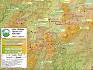
The Hill Country had widespread convective activity develop by 1500 CDT on Monday, August 13th. This activity was felt to threaten outflow gust fronts over the Uvalde contest site and Task Planning ran the contestants to the south and southeast areas. At the same time the Sea Breeze Front from the Texas Gulf Coast was predicted to be typical in its inland penetration but convective activity was expected on the Front. On the Visible/Radar loop below, note the develop of the Hill Country thunderstorms and the isolated to scattered cells along the Sea Breeze Front. Click on the image for the full animation from 1000 to 1900 CDT.

