I arrived at Fairfield, Pa for the Region 4 North contest yesterday afternoon, driving up the taxiway to the hangar area under gray skies. The weather has gotten steadily worse since then, and so now I’m sitting in the Micro-Castle on Sunday afternoon, and it has been drizzling rain all day long – bummer.
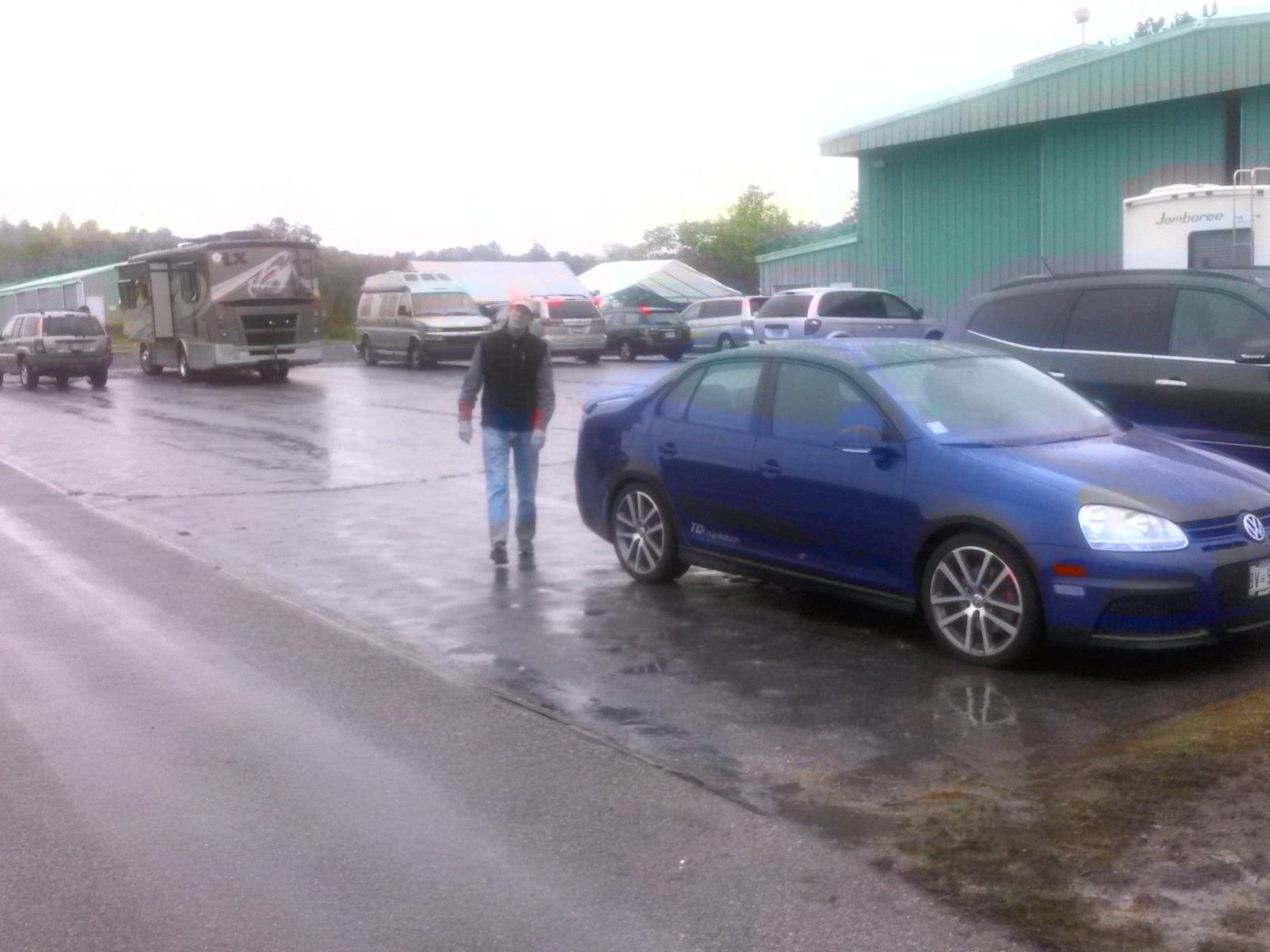
Phil Jones (PJ) putting on a happy face
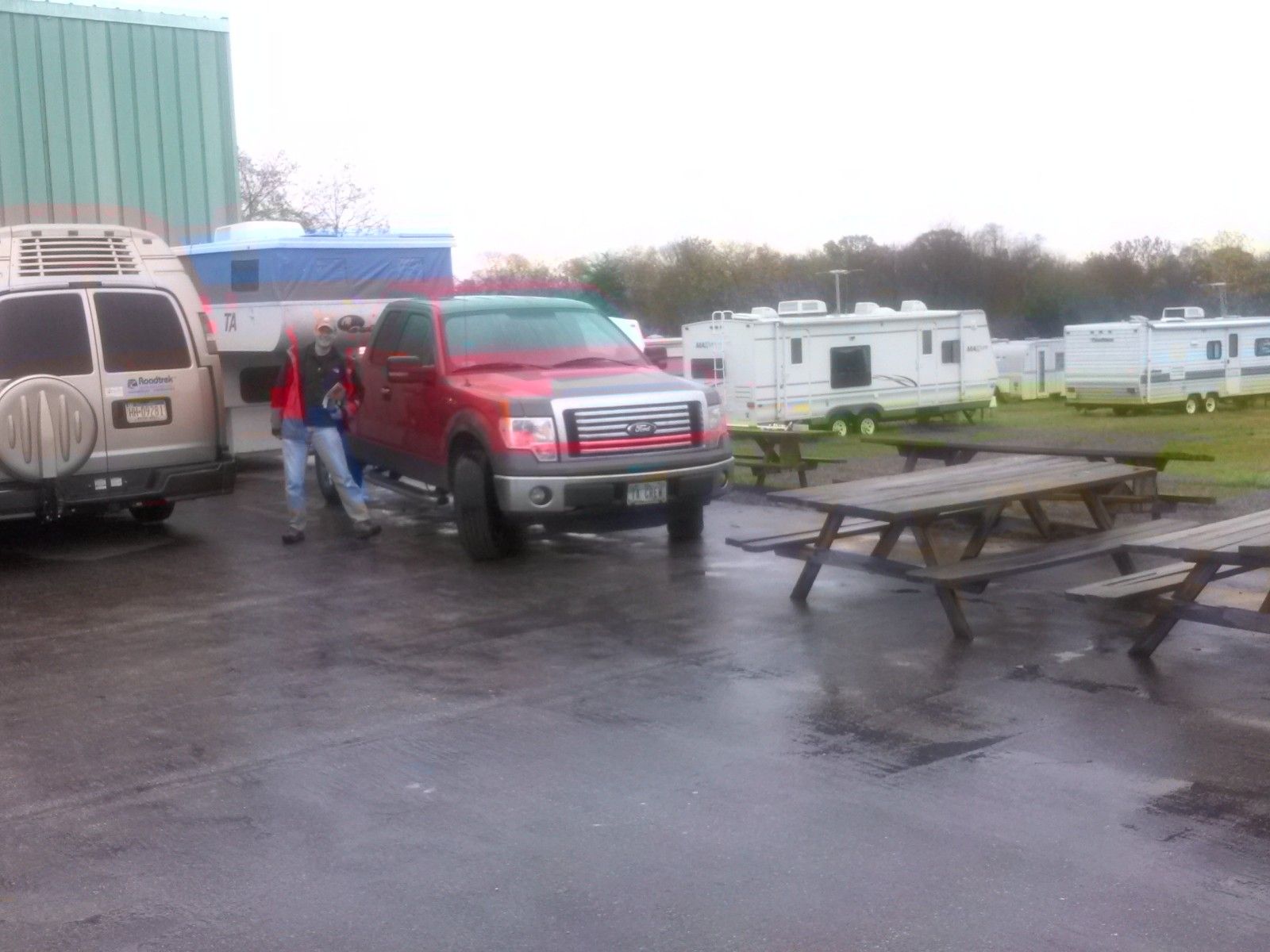
Tim Welles (W3) braving the wet weather
The good news is that I’ve had a chance to visit with a number of my other soaring friends, and catch up on what’s been happening during my self-enforced absence from the sport. It’s actually been kind of nice – maybe from now on I’ll just go to rained-out contests – oh, wait – that’s what I’ve been doing anyway! ;-).
As part of my 12-step crash recovery program I have made a solemn vow to *always* do a thorough Google Earth review of a contest site’s waypoint database with an eye toward eliminating missing/unsuitable airstrips from my personal database. When I did this for M-ASA, I found about 40 airstrips that were in the database, but could not be found at the specified location in Google Earth. Fortunately this process is made *much* easier due to the .kmz file produced through John Leibacher’s Worldwide Soaring Turnpoint Exchange – thanks John! The .kmz file can be loaded directly into Google Earth, and shows an airplane symbol at the published location for each airstrip in the database. I happened to be talking to Rick Fuller today, and he insisted that one of the ‘missing’ airports (Shulls, near Wagonner’s Gap) in fact existed, but not exactly where the symbol was located. So, I went back to Google Earth and searched harder, and indeed found the aistrip – but well over a mile from the airplane symbol. The screenshots below show the overall view and the detail view for this airstrip. Rick was indeed correct, both that the airstrip existed and that it is a well-placed, perfectly suitable bail-out option – thanks Rick!
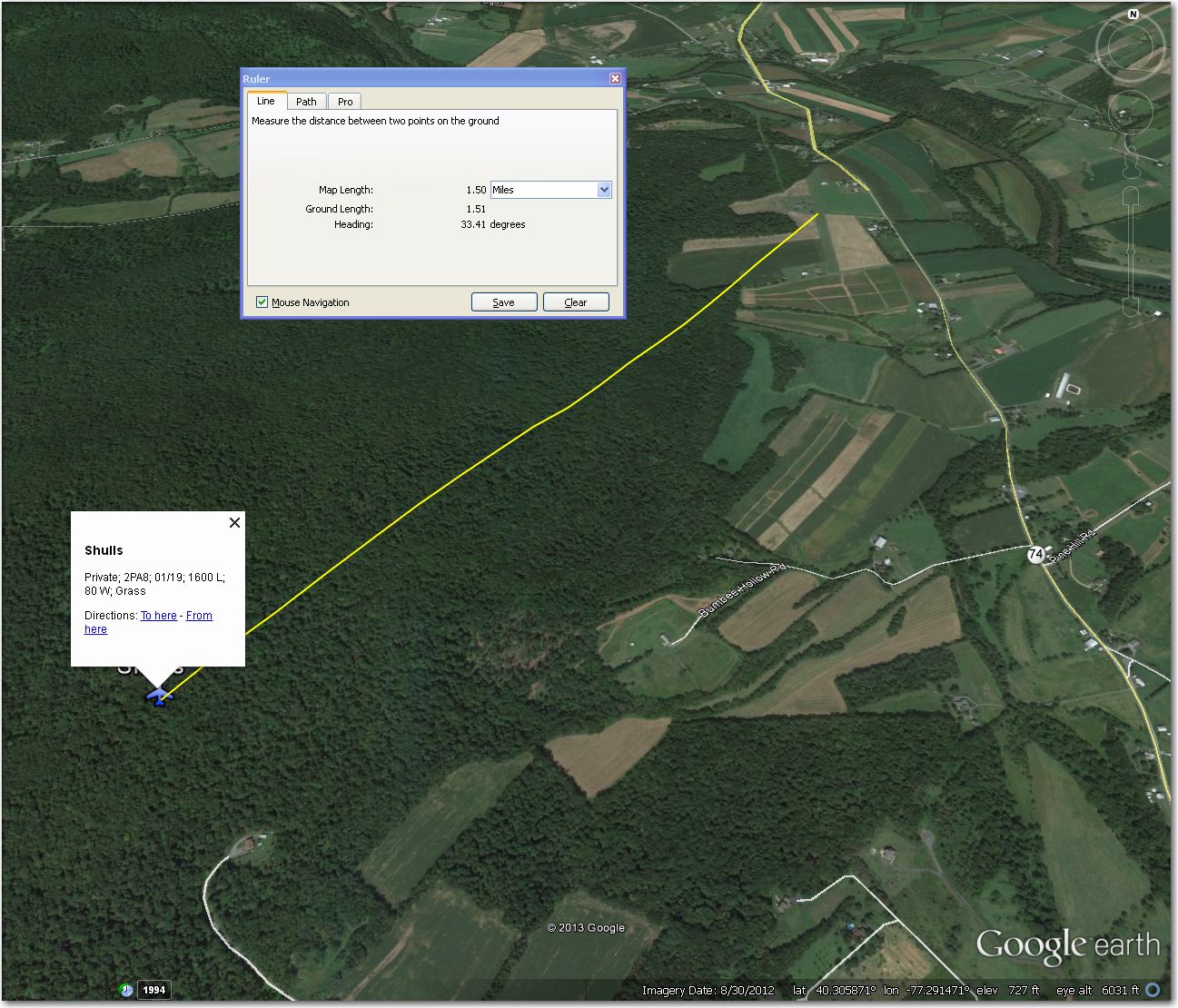
Shulls airstrip is located about 1.5 miles NE of the airplane symbol
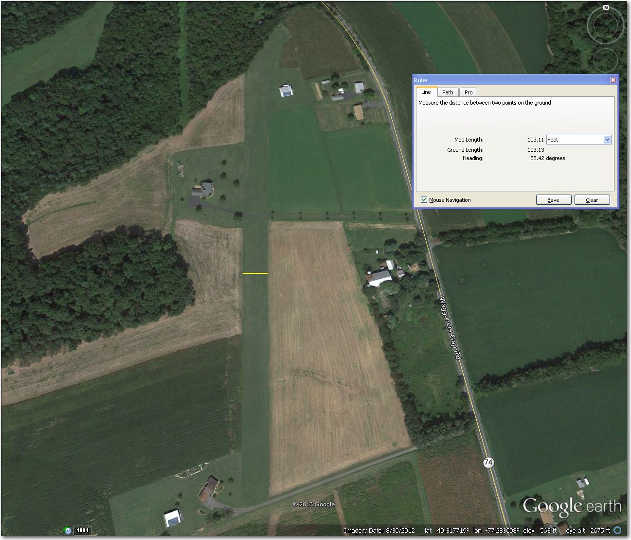 Shulls airstrip – nice!
Baud Litt (LBL) is back from Belgium for the contest. Baud has been a M-ASA member forever, and just recently returned to Belgium from the U.S. where he had been posted as an aviation expert. I was bummed to hear that he was leaving, but delighted that he had come back for the meet; especially so since I got the opportunity to lurk while he was providing his superb site familiarization briefing to a couple of other soaring pilots. Baud knows this area better than anyone alive, and his expertise will be sorely missed. One of the things Baud talked about in his briefing was the ‘High Rock’ return route to Fairfield. Fairfield sits just east of a range of low (but not insignificant) hills, and getting back from the west can be a bit problematic at times. Baud has figured out that if you are well above the base of a huge microwave relay tower on top of a medium sized ridgeline (but to the east! – the tower itself marks the western edge of P-40), then you have enough altitude to coast down a valley that comes out behind Jack’s mountain (not to be confused with Jacks Mountain near Mifflin), which will then lead you to the Fairfield airport. I have heard about this route for years, but have always been very reluctant to try it myself. It’s one thing to look at a route or a transition on a map, but quite another to be able to recognize and utilize it in real life in real time. However, this time I decided to try a program called ‘IGC Flight Replay’ I have been using for the last few months that allows a user to ‘fly’ an IGC file and view LandSat images as they would be seen from the cockpit during the flight. IGC Flight Replay was created by Tobias Wicht in 2008, and accepts any IGC flight file directly – no need to first convert to KML – and animates it using LandSat imagery. It takes a little while to become effective with the controls, but its worth the effort. So, I loaded up Baud’s flight from last year’s ridge day here at Fairfield, and ‘flew’ with him as he returned to Faifield using the ‘High Rock’ return route. Then I ‘flew’ another of his flights from last winter where he used the High Rock ridge to gain enough altitude at the end of the day to make the return work, so now I have a pretty good idea what things are supposed to look like, from both the top and bottom ends of the altitude envelope. Try it – you’ll like it! ;-).
Weather forecasts for the next day or so aren’t particularly optimistic, so I may have plenty of time to think up more lies to post, so stay tuned! ;-)
Frank (TA).


1 comment for “Rain Day at Fairfield (R4N)”