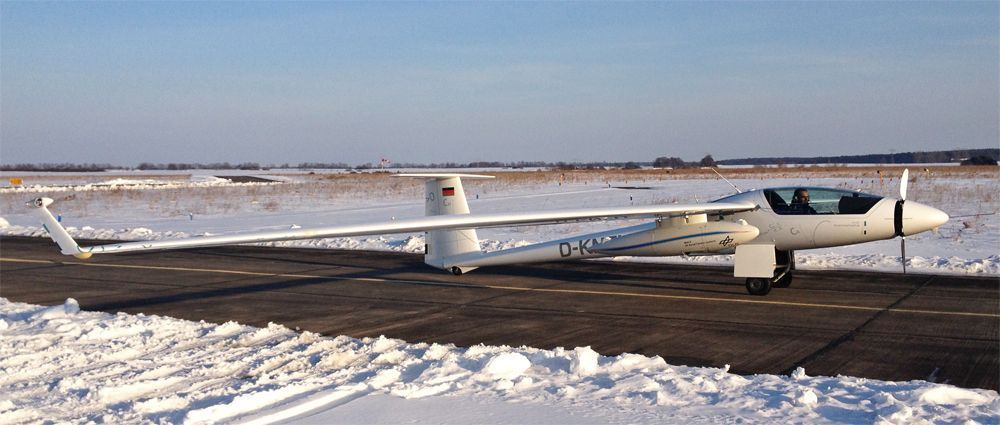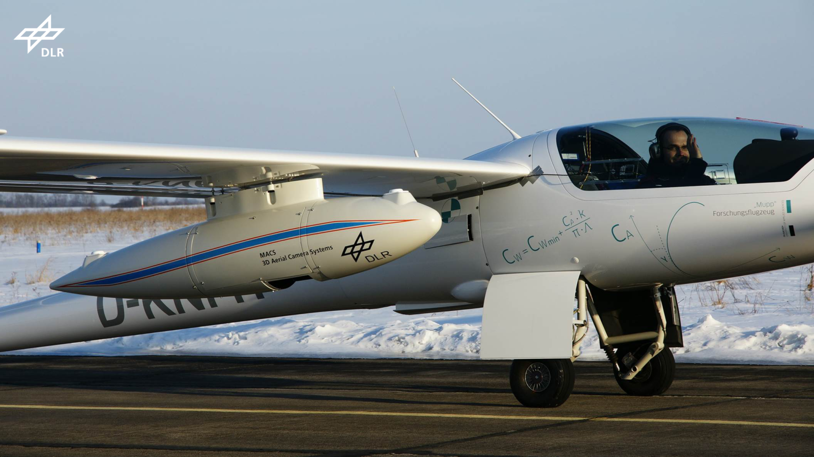
Stemme with DLR MACS Camera Pod click to enlarge (photo by DLR)
German Aerospace Center (DLR) developed the next generation of their MACS 3D aerial camera system. It was recently tested during an initial flight on a Stemme S10 VTX motorglider near Berlin, Germany. Both, camera and motorglider, will be used during the 2013 expedition of the Mountain Wave Project (MWP) to be held in the Himalaya. Flight altitudes up to 40,000ft will be accomplished. The camera system collects imagery of several regions to derive high-resolution 3D digital surface models, e.g. for disaster simulation (Geohazards), or post-disaster change detection.
More information on the DLR MACS websites.
or
http://www.mountain-wave-
Rene Heise provide the Cafe Staff the following update:
We want to fly in the beginning of October 2013 with two Stemme in Nepal.
Our MWP- research aircraft will be the Stemme S10 VTX from the FH Aachen – Faculty Aerospace Technology.
In December I give a lecture at the International Club of Federal Foreign Office in Berlin. In the scope of the project I explained the scientific objectives and the actual status ot the preparations. MWP-documentarist Reiner Sahm enriched the event with his amazing panorama photos – soaring over the Andes.
Read more about the lecture here.
The requested simulator training area of SID/SIA Kathmandu (VNKT) was successful completed in February 2013.
The test flight with DLR-Pod on March 25, 2013 provided an additional challenge.
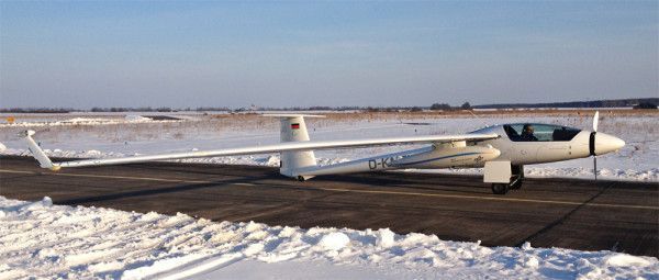
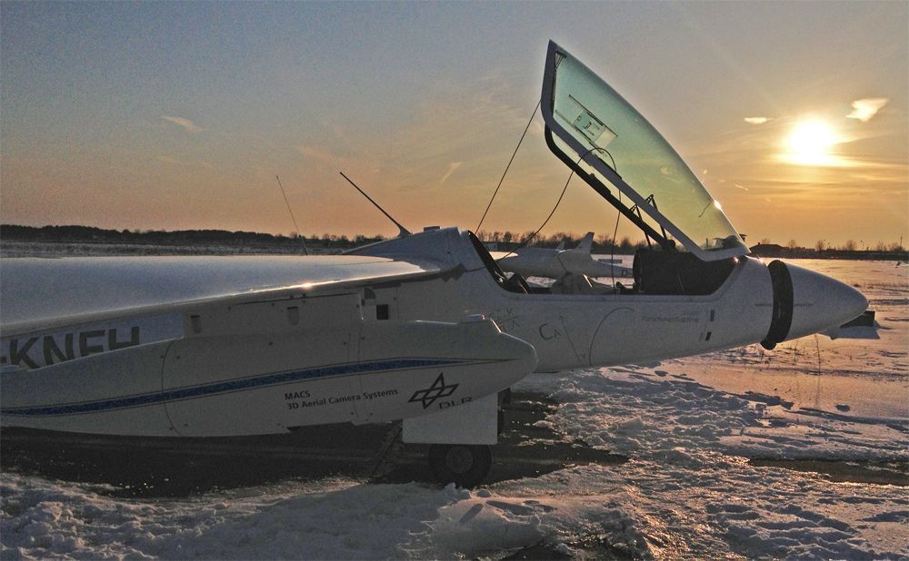
Photo by DLR
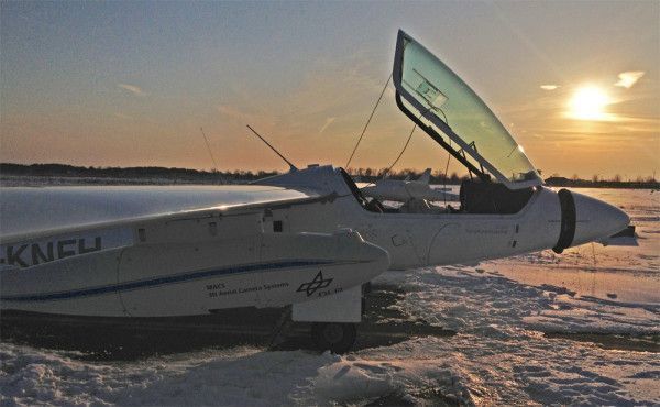
Photo by DLR
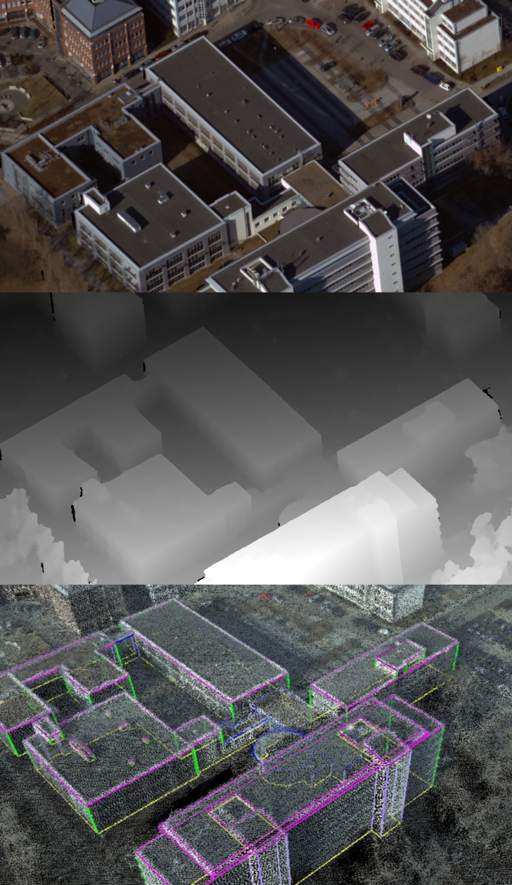
In the attachment you can find an example of the skills of this optical system.

Photogrammetric processing from digital aerial photos, over digital surface model to a textured Surface Model with facades (2.5D)
The challenge is to fly with this system over the high Himalaya Mountain Range and maybe we can find more rescue routes with the support of the new 3D model.