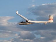
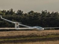
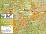
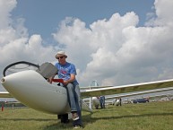
Task opened at 13:30 MDT. Maximum start height is 12,000 MSL and reports of pilots at 10K climbing 9 knots were heard from the task advisers. Clouds are filling into to the north ad over the field.
The URL's for the various tracking sites:
Google Maps: http://www.hawketracking.org/hobbs/files/tracking.htm
Google Maps Large: http://www.hawketracking.org/hobbs/files/trackinglarge.htm
Mobile: http://www.hawketracking.org/hobbs/files/mobile.htm

There also is a Google Earth Network Link file that can be accessed at:
Google Earth: http://www.hawketracking.org/hobbs/files/tracking.kml
It's normally easiest to just download the kml file and then you can
double-click on it anytime you want to connect.


RACE ON
Ron Gleason
