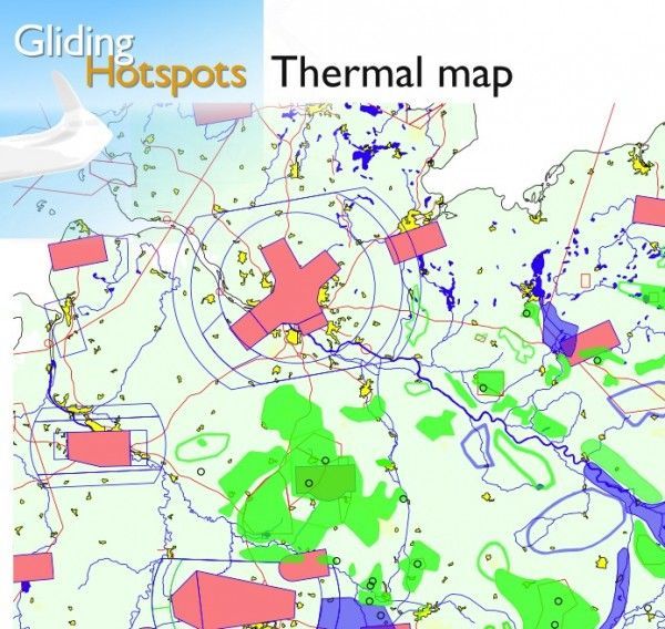
OLC Magazine: In early April, 2012, glidinghotspots.eu was launched to provide European glider pilots a platform for exchanging information on the thermal quality of flatland areas. The website provides information on areas that are more likely to generate thermals and solicits input from pilots to improve the quality of the maps over time. Thermal areas and hotspots are color coded and overlaid on a printable map that can be freely downloaded from the site. The maps are also available in both OpenAir and SeeYou formats. See the article in OLC Magazine for more details.
Here’s a segment of the downloadable map.

